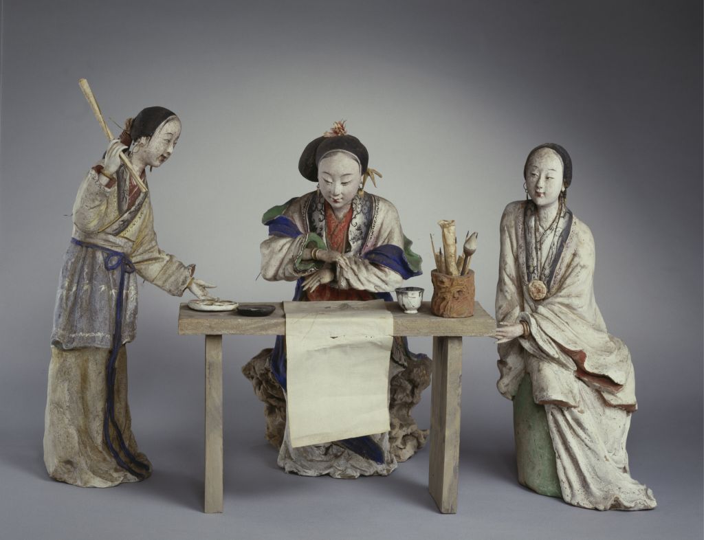
[Wu Wei’s Wanli Map of the Yangtze River]
The Wanli Map of the Yangtze River, Ming Dynasty, Wu Wei’s painting, silk, light color, 27.8 cm vertical, 976.2 cm horizontal
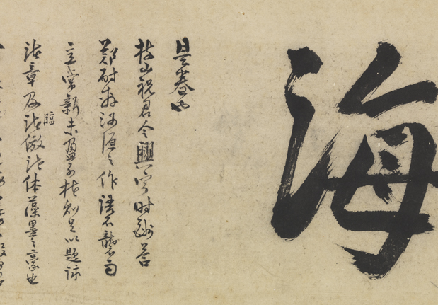
The title at the end of the volume: “In September of the 18th year of Hongzhi’s reign, Wu Wei of Huxiang lived in the Zhaizhong system of Wuchang County”, with the inscription of Wang Yaochen and Wang Yaogeng
This painting was painted in the 18th year of the reign of the Emperor Hongzhi of the Ming Dynasty (1505). It is a rare long-volume masterpiece of Wu Wei’s ink freehand painting, and also an important work created by the author in his hometown. This year, the painter was 47 years old, only three years from his death. The picture depicts the magnificent Yunshan Mountain, Yougu Mountain Village, urban and rural houses, and sail on the river along the Wanli Yangtze River, dotted with many scenic spots and historic sites
The picture is full of undulating mountains, rivers, lakes and harbors. The Yedu Fishing Village, waterside pavilions, thatched cottages and Shuimo Long Bridge are set up according to the terrain and environment, dotted among mountains, rivers and lakes. Wu Wei’s mountain and stone painting is generally influenced by the traditional Ma and Xia painting style of “chop and crack”. However, in this painting, he uses a combination of vigorous and unrestrained sketching and ink halo dyeing to depict the regrettable momentum of the Yangtze River, which shows the artist’s artistic characteristics of winning with a strong style, and has its unique creativity in the impressionistic ink landscape since the Song and Yuan dynasties.
![图片[1]-Wu Wei’s Wanli Atlas of the Yangtze River-China Archive](https://chinaarchive.net/Ming dynasty/painting/null-新00146391-吴伟长江万里图卷-全卷_2017414212528.jpg)
![[Qing Dynasty] British female painter—Elizabeth Keith, using woodblock prints to record China from the late Qing Dynasty to the early Republic of China—1915-China Archive](https://chinaarchive.net/wp-content/uploads/2022/11/image-191x300.png)