A group of old photos of Kashgar in Xinjiang in 1898 are shared with you. Let’s take a look at the unique features of Kashgar in southern Xinjiang 120 years ago
This group of pictures was taken by David T. Hanbury, a British traveler, from the Smithsonian Museum in Maryland, USA, about 1898. However, there is little information about other details of this group of pictures
The photos he took in Kashgar and Bachu during this trip have been released earlier. See
Old photos of Kashgar in 1898, unique style of Kashgar in South Xinjiang 120 years ago
A list of the unique features of Bachu region 120 years ago in 1898.
Next, we will continue to release the photos he took in Tashkurgan.
Tashkurgan Tajik Autonomous County is located in the southwest of Xinjiang Uygur Autonomous Region. The northwest, southwest and south are respectively connected with Tajikistan, Afghanistan and Pakistan, the southeast and east are connected with Yecheng and Shache County, and the north is connected with Aktau County.
Shikurgan, in Uyghur, means ““ Stone City”, It is named after the ancient stone castle in the north of the city
The Han Dynasty was the land of Puli State in the Western Regions. From the Northern Wei Dynasty to the Sui Dynasty, it was the territory of the State of Hepantuo. In the Tang Dynasty, it was held for Congling Mountain under Shule Town. Song and Yuan belonged to Tian. The Ming Dynasty belonged to Yeerqiang Khanate. In the Qing Dynasty, in the 28th year of the reign of Emperor Guangxu (1902), a division hall was set up in Puli, which was subordinate to Shache House. In the second year of the Republic of China (1913), Puli County was set as Kashgar Road
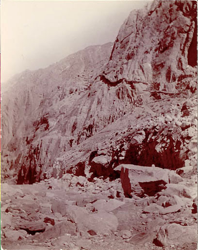
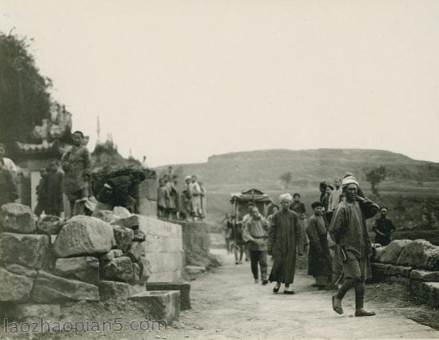
塔什库尔干山路
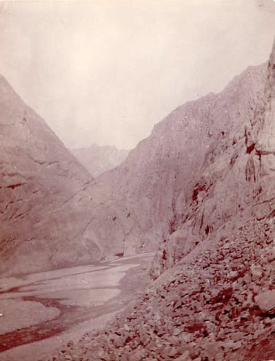
塔什库尔干山隘。
![[Qing Dynasty] British female painter—Elizabeth Keith, using woodblock prints to record China from the late Qing Dynasty to the early Republic of China—1915-China Archive](https://chinaarchive.net/wp-content/uploads/2022/11/image-191x300.png)