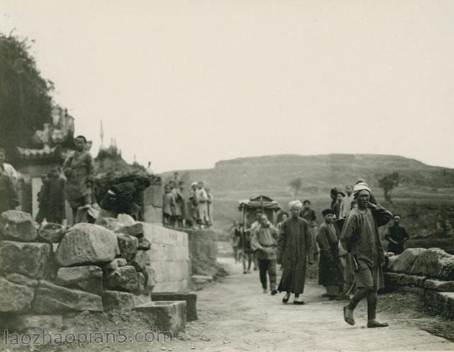
Collated into a group of old photos of Pingliang, Gansu in the 1930s, let’s have a look at the street view of Pingliang 80 years ago
Pingliang, located in the east of Gansu Province, at the eastern foot of Liupan Mountain, and at the upstream of Jinghe River, is the geometric center of the intersection of Shaanxi, Gansu and Ningxia; Golden Triangle”, It stretches across Longshan (Guanshan), adjoins Xianyang of Shaanxi Province to the east, Dingxi and Baiyin of Gansu Province to the west, Baoji of Shaanxi Province and Tianshui of Gansu Province to the south, Guyuan of Ningxia Province and Qingyang of Gansu Province to the north, and is an important node city of the urban agglomeration in the Guanzhong Plain
![图片[1]-Old photos of Pingliang, Gansu in the 1930s Street view of Pingliang 80 years ago-China Archive](https://chinaarchive.net/photo/republic-of-china/1-200Q3233S9A9.jpg)
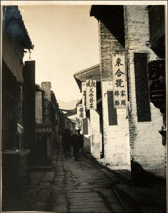
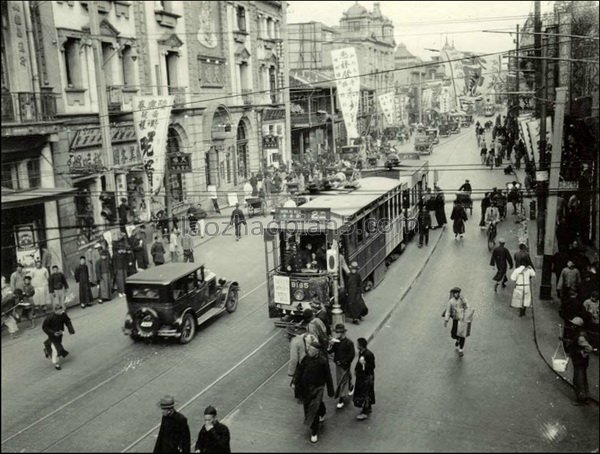
1934年,平凉街景,人流量很大,商业比较发达。
平凉素有“陇上旱码头”之称,是古“丝绸之路”必经重镇,史称“西出长安第一城”。平凉自古为陇东传统的商品集散地,中原通往西域和古丝绸之路北线东端的交通和军事要冲,不仅是西北地区的公路枢纽,而且是欧亚大陆桥第二通道的重要中转站。
![图片[2]-Old photos of Pingliang, Gansu in the 1930s Street view of Pingliang 80 years ago-China Archive](https://chinaarchive.net/photo/republic-of-china/1-200Q3233913-50.jpg)
1934年,平凉街景
![图片[3]-Old photos of Pingliang, Gansu in the 1930s Street view of Pingliang 80 years ago-China Archive](https://chinaarchive.net/photo/republic-of-china/1-200Q3233914.jpg)
1934年,平凉街景
![图片[4]-Old photos of Pingliang, Gansu in the 1930s Street view of Pingliang 80 years ago-China Archive](https://chinaarchive.net/photo/republic-of-china/1-200Q3233913.jpg)
1934年,平凉东关街
![图片[5]-Old photos of Pingliang, Gansu in the 1930s Street view of Pingliang 80 years ago-China Archive](https://chinaarchive.net/photo/republic-of-china/1-200Q3233914-51.jpg)
1937年,平凉街景
![图片[6]-Old photos of Pingliang, Gansu in the 1930s Street view of Pingliang 80 years ago-China Archive](https://chinaarchive.net/photo/republic-of-china/1-200Q3233914-50.jpg)
1937年,平凉街景
![图片[7]-Old photos of Pingliang, Gansu in the 1930s Street view of Pingliang 80 years ago-China Archive](https://chinaarchive.net/photo/republic-of-china/1-200Q3233915.jpg)
1937年,平凉街景
![图片[8]-Old photos of Pingliang, Gansu in the 1930s Street view of Pingliang 80 years ago-China Archive](https://chinaarchive.net/photo/republic-of-china/1-200Q3233916.jpg)
1937年,平凉街景
![图片[9]-Old photos of Pingliang, Gansu in the 1930s Street view of Pingliang 80 years ago-China Archive](https://chinaarchive.net/photo/republic-of-china/1-200Q3233916-50.jpg)
1939年,平凉东关街
![[Qing Dynasty] British female painter—Elizabeth Keith, using woodblock prints to record China from the late Qing Dynasty to the early Republic of China—1915-China Archive](https://chinaarchive.net/wp-content/uploads/2022/11/image-191x300.png)
