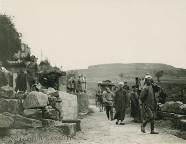
The old photo of Yanji, Jilin, in 1932, was taken 90 years ago. This group of photos was taken from the Japanese magazine Yadong Prints from August 1924 to 1944
The issue date of the magazine in which the photos of this group were taken was April 1932, so the photos of this group were taken before April 1932
Yanji City, a county-level city under the jurisdiction of Yanbian, Jilin Province, is located in the east of Jilin Province, the middle of Yanbian Prefecture, the north foot of Changbai Mountains, and the hinterland of the Northeast Asian economic circle. It is a large Tumen River region proposed by the United Nations; Golden Triangle” A pivot of China. It is only 60 kilometers away from the Sino Russian border in the east and 80 kilometers away from the Sea of Japan; It is more than 10 kilometers away from the border between China and North Korea in the south. During the fall of Northeast China, Yanji fell under the iron hoofs of Japanese invaders and became the capital of Manchukuo Jiandao Province
![图片[1]-1932 Old photos of Yanji, Jilin City 90 years ago Yanji Street and Longjing City-China Archive](https://chinaarchive.net/photo/republic-of-china/1-211105224023.jpg)
1932年,延吉县的局子街
![图片[2]-1932 Old photos of Yanji, Jilin City 90 years ago Yanji Street and Longjing City-China Archive](https://chinaarchive.net/photo/republic-of-china/1-211105224023-50.jpg)
1932年,龙井市的开山屯
龙井市 ,满语里意义为两山夹一江(海兰江)。龙井原名六道沟,是满族的发祥地和龙兴之地。
![图片[3]-1932 Old photos of Yanji, Jilin City 90 years ago Yanji Street and Longjing City-China Archive](https://chinaarchive.net/photo/republic-of-china/1-211105224023-51.jpg)
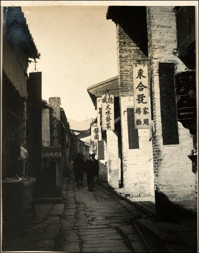
1932年,龙井村的街道
![图片[4]-1932 Old photos of Yanji, Jilin City 90 years ago Yanji Street and Longjing City-China Archive](https://chinaarchive.net/photo/republic-of-china/1-211105224023-52.jpg)
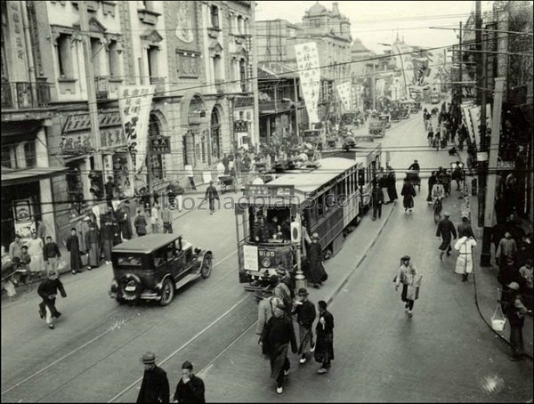
1932年,龙井村(今龙井市)的集市
![图片[5]-1932 Old photos of Yanji, Jilin City 90 years ago Yanji Street and Longjing City-China Archive](https://chinaarchive.net/photo/republic-of-china/1-211105224024.jpg)
1932年,龙井村(今龙井市)的集市
![图片[6]-1932 Old photos of Yanji, Jilin City 90 years ago Yanji Street and Longjing City-China Archive](https://chinaarchive.net/photo/republic-of-china/1-211105224024-50.jpg)
1932年,龙井境内的天宝山
天宝山位于吉林省延边朝鲜族自治州龙井市西南方的天宝山,曾是中国八大矿山之一,无论是有色金属的地质储量,还是矿山的开采历史,都在全国闻名。
![图片[7]-1932 Old photos of Yanji, Jilin City 90 years ago Yanji Street and Longjing City-China Archive](https://chinaarchive.net/photo/republic-of-china/1-211105224024-51.jpg)
1932年,龙井境内的老头沟
![图片[8]-1932 Old photos of Yanji, Jilin City 90 years ago Yanji Street and Longjing City-China Archive](https://chinaarchive.net/photo/republic-of-china/1-211105224024-52.jpg)
1932年,龙井境内的一处农户
![图片[9]-1932 Old photos of Yanji, Jilin City 90 years ago Yanji Street and Longjing City-China Archive](https://chinaarchive.net/photo/republic-of-china/1-211105224025.jpg)
1932年,龙井境内的头道沟
![图片[10]-1932 Old photos of Yanji, Jilin City 90 years ago Yanji Street and Longjing City-China Archive](https://chinaarchive.net/photo/republic-of-china/1-211105224025-50.jpg)
1932年,安图境内的明月沟瓮声砬子
![[Qing Dynasty] British female painter—Elizabeth Keith, using woodblock prints to record China from the late Qing Dynasty to the early Republic of China—1915-China Archive](https://chinaarchive.net/wp-content/uploads/2022/11/image-191x300.png)
