[Horizontal axis of Yuan Yao’s Hanjiang Scenic Map]
The horizontal axis of the Hanjiang Scenic Map, made by Yuan Yao in the Qing Dynasty, is printed in silk, with colors, 165.2 cm vertically and 262.8 cm horizontally
The author’s own title: “Han Jiang Shenglan, Shi Dingmao, Yuan Yaohua in the winter of the Qing Dynasty.” The seal is “Yuan Yaozhi”, “Zhao Daoshi”. There are also Jianzang Seal “Near Home” and “Sun Fuchang Seal”. Ding Mao was the 12th year of Qianlong (1747)
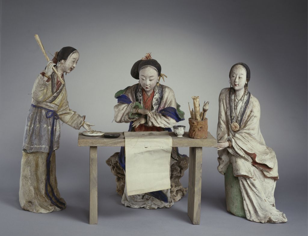
This is a documentary work, belonging to Yuan Yao’s early works. In the middle of the Qing Dynasty, Yangzhou, as a transportation hub and commercial center in the south of the Yangtze River, was the most prosperous and prosperous city in the world. It was also one of the cultural and artistic centers at that time. The painter has a panoramic view of the northern suburbs of the ancient Yangzhou city from the perspective of overlooking. In the picture, Yangzhou City is surrounded by mountains and rivers, and the close view, middle view and long view are displayed layer by layer, with great momentum. Yuan Yaosu is famous for depicting magnificent palace buildings, but in this documentary work, it shows a simple style. However, there is no slackening in the skill of using the brush. Every detail is detailed, and the houses, trees, boats, bridges, people, horses and carriages are concrete and vivid.
![图片[1]-Horizontal axis of the Hanjiang scenic map of Yuan Yao-China Archive](https://chinaarchive.net/Qing dynasty/painting/2707[1024].jpg)
![[Qing Dynasty] British female painter—Elizabeth Keith, using woodblock prints to record China from the late Qing Dynasty to the early Republic of China—1915-China Archive](https://chinaarchive.net/wp-content/uploads/2022/11/image-191x300.png)