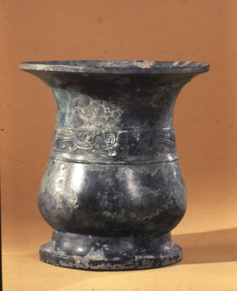
[Qianlong Inner Mansion Map Bronze Plate]
Qianlong Inner Mansion Map Bronze Plate, Qing Qianlong, 76 cm long, 45.8 cm wide, and 1 cm thick. The old collection of the Qing Palace
Emperors in the Qing Dynasty attached great importance to the production of maps. After conducting geodetic surveys in the Kangxi Dynasty, the “Huangyu Comprehensive Map” was once evaluated by Joseph Needham as “better than all maps of Europe at that time”, but the “Huangyu Comprehensive Map” failed to measure the area west of Hami. In the 21st (1756) and 24th (1759) years of Qianlong’s reign, the imperial court twice sent people to survey and draw the “Map of Qianlong’s Inner Mansion”, which was very accurate and had a positive impact on the cartography of various dynasties in the future
In the fortieth year of Qianlong’s reign (1775), the “Map of Qianlong’s Inner Mansion” was made of 104 copper plates by the French missionary Jiang Youren, and after splicing and printing, there were 13 rows in total. Therefore, it is also known as the “Thirteen Row Map”. The latitude and longitude network, projection, and scale used are detailed, and errors in the Tibetan part have also been corrected
This is one of the bronze plates on the map of the Qianlong Inner Mansion, which was discovered in 1925 at the Palace Museum in Beijing.
![图片[1]-Bronze plate of the map of Qianlong’s inner mansion-China Archive](https://chinaarchive.net/Warring States period/Household appliances/23406[1024].jpg)